JAKARTA – Certain groups of people accused Indonesia of not having proper spatial planning policy and also not caring about biodiversity. But actually, on the contrary, countries across the globe should learn from Indonesia about how to manage space for life.
According to its Law No.41/1999 on Forestry and Law No.26/2007 on spatial planning, Indonesia sets minimum 30 percent of its total land area as forests. The total land area is divided into two categories, namely conservation areas and cultivation areas.
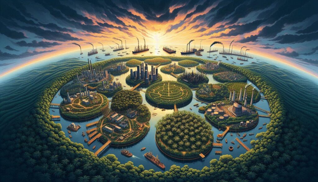
It means that Indonesia adopts a condition of harmony, where cultivated areas (urban/residential sector, industry, agricultural/plantation sector, etc.) and protected areas (protected/conservation forests) can coexist harmoniously in their respective spaces (Figure 1).

The forests are set at minimum 30 percent of the total area to function as biodiversity home (flora, fauna, and native microbes), natural fortress and nature conservation. The maximum 70 percent of the remaining land area is allocated for all development sectors such as agriculture, plantations, livestock, urban, housing and others.
The Forestry Statistics data (KLHK, 2021) shows that of the approximately 187 million hectares of total land area of Indonesia in 2020, around 88 million hectares are forests. This means that approximately 47 percent of its total land area is still forest, which is higher than the minimum requirement set by the law. More than half of the forest is primary forest as a natural habitat for animal biodiversity (such as elephants, tigers, orangutans, rhinos, lions, bears, various types of birds and others) and wild plants, which are spread throughout the Indonesian mainland (Myth 6-32, Myth 6-34 and Myth 6-35).
Meanwhile, the area of agricultural-rural areas is around 55 million hectares or 29 percent of the land area. The area for the urban sector (including settlements, offices, business centers, etc.) reaches 43 million hectares or around 23 percent of the total land area. Included in the rural agriculture are oil palm plantations at around 14.9 million hectares (Ministry of Agriculture, 2021) or around 8 percent of Indonesia’s land area.
Urban, agriculture/plantation, and forest are managed in a balanced manner in Indonesian spatial planning. Forest as the “home” of biodiversity must be maintained as it has its own environmental function and cannot be replaced by the function of agriculture/plantation or urban. On the other hand, urban as the center of community and people activities has its own place and function that cannot be replaced by either forest or agriculture/plantation.
Likewise, agriculture/plantation as a producer of food, energy, and biomaterials also has its own space and function that cannot be replaced by urban or forest. Residential/urban areas, agriculture/plantation, and forest have their respective functions in the ecosystem, where these functions cannot replace each other so that they must be managed in harmony side by side in the designated space. In other words, “Mall, Palm Oil, and Orang Utan” live and grow side by side in harmony in their respective spaces. It is in accordance with the spatial planning policy, which is implemented in Indonesia based on the principle of sustainable ecosystem. (*) (Mitos 7-02)